


“Seeing the Islands from the Sky”
Maps are useful. But this is different.
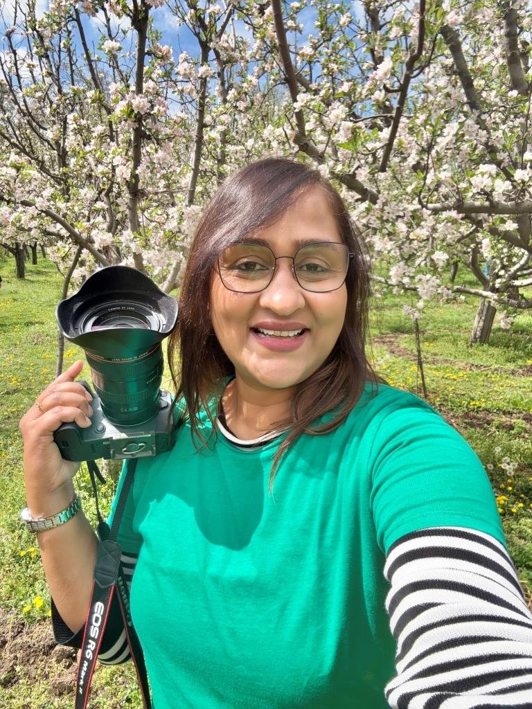
Artist
International Jury Wikilovesearth 2025! International Jury Swedish Championship Photography 2025!
International Jury WPC 2023!
https://jhumadatta.com
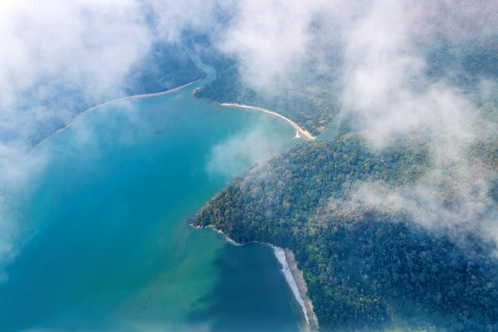
At 3,000 feet in the air, the Andaman Islands don’t look like maps at all. They look like a painting made by nature. I shot this series from a helicopter where clouds move, light shifts, and the scene you saw 30 seconds ago is gone.

Each of these frames is a one-minute window — the time between the clouds parting and the light leaving.
The shallow water glows bright blue-green. Deep parts of the sea look like dark lines of ink. Small strips of sand curve into the ocean like brushstrokes.
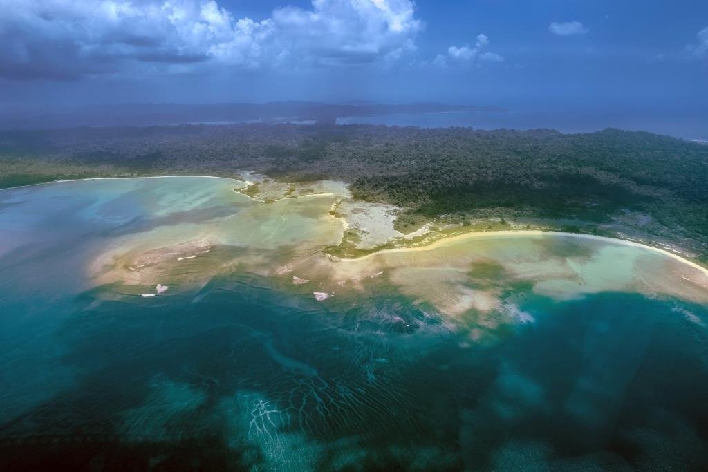
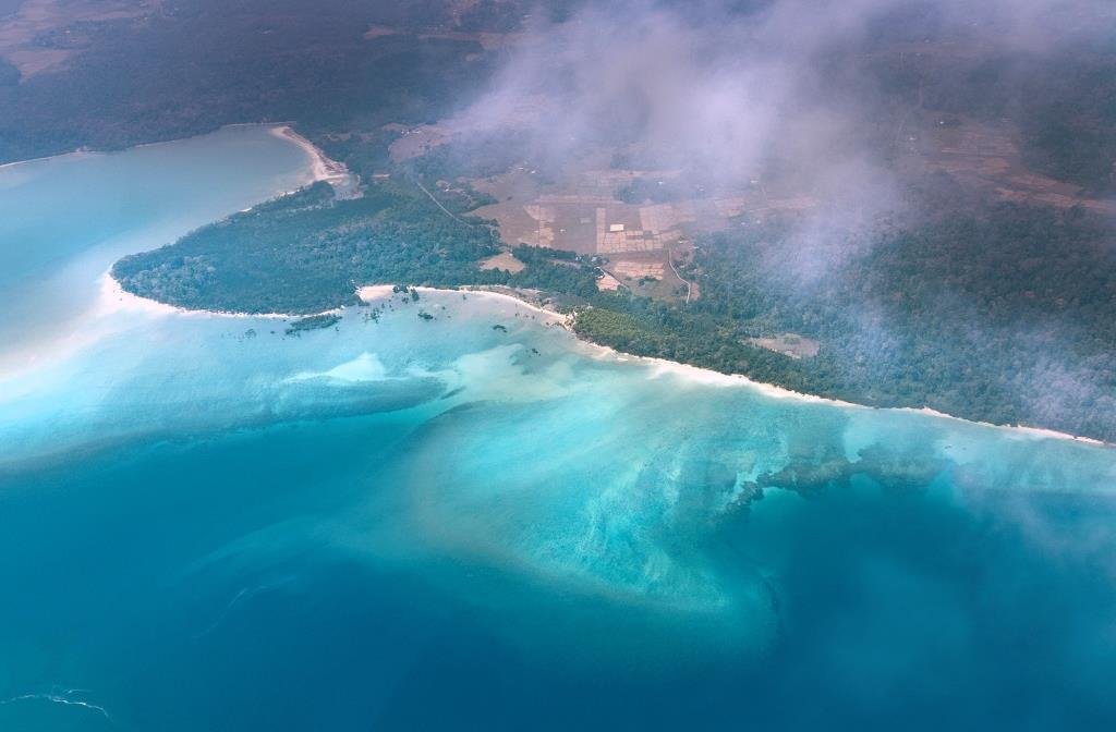
I took these photos from a helicopter. You don’t get a second chance. The clouds move. The light changes. What you see now will be gone in 30 seconds.
Every photo was taken in a small gap of time — when the clouds opened and the sun came through.
From the ground, a beach is just the edge of the land. From the sky, you see that the land and sea are always talking to each other. The tide draws lines and then wipes them away. Tree roots hold the soil from washing off. Every river mouth is where the sea meets the forest.
These patterns are not random. They follow the rules of nature — water, plants, and time working together.
We are used to seeing satellite photos. They feel cold and far away. This is different. A person was there in the helicopter. You can hear the pilot on the radio. You feel the engine hum. You have to keep your hands steady because the moment won’t wait.
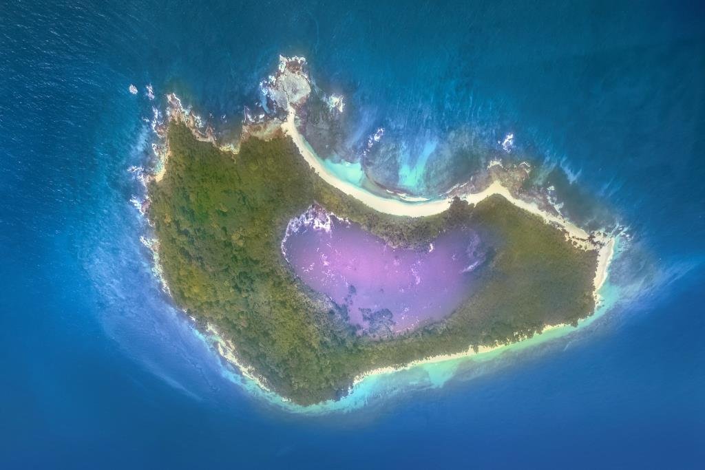
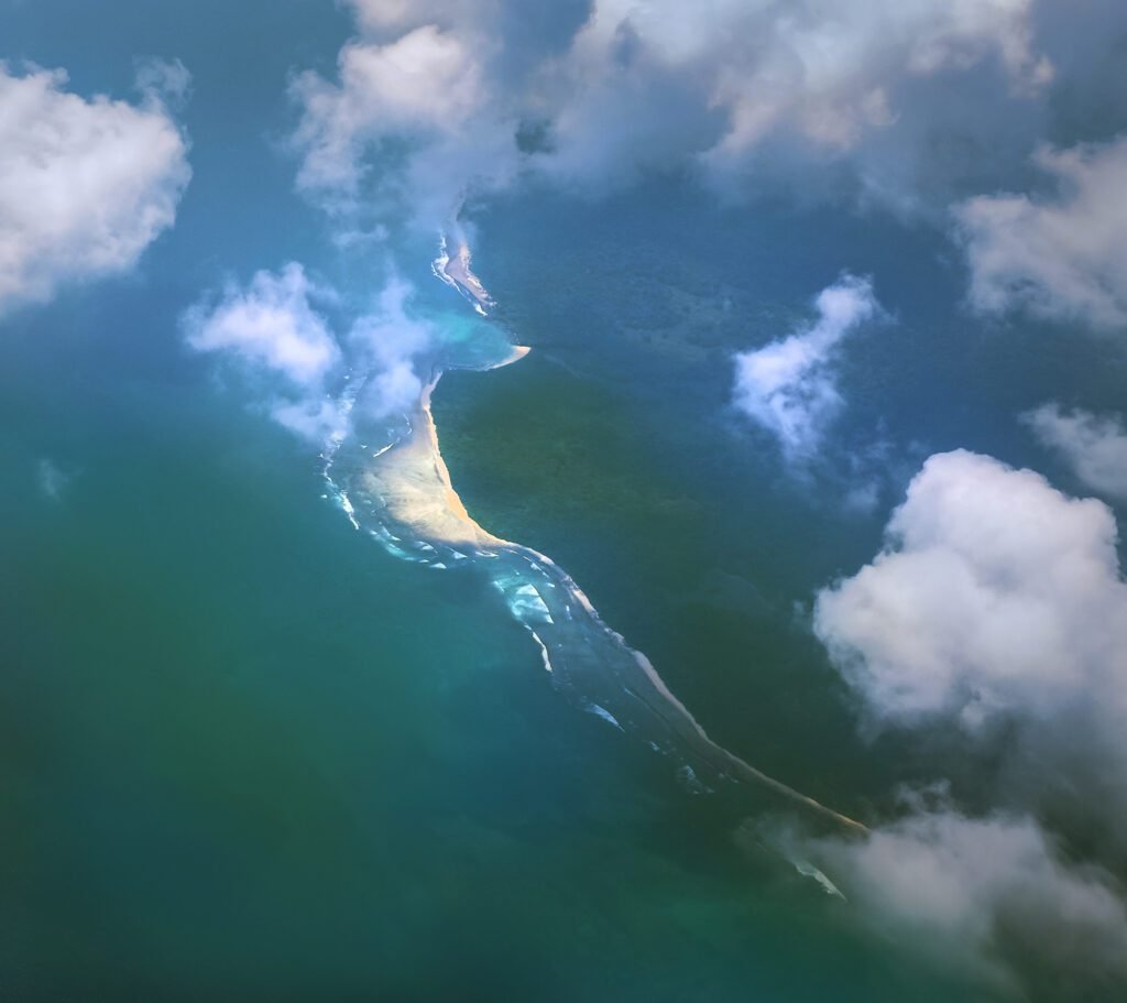
Seeing the islands like this is humbling. It shows you how beautiful they are. But it also shows how they work. And when you understand how they work, you understand how easy they are to break.
All these photos were taken over the Andaman Islands. A drone cannot do this job. Being there, in the air, with a clear view — that is what makes these pictures real.